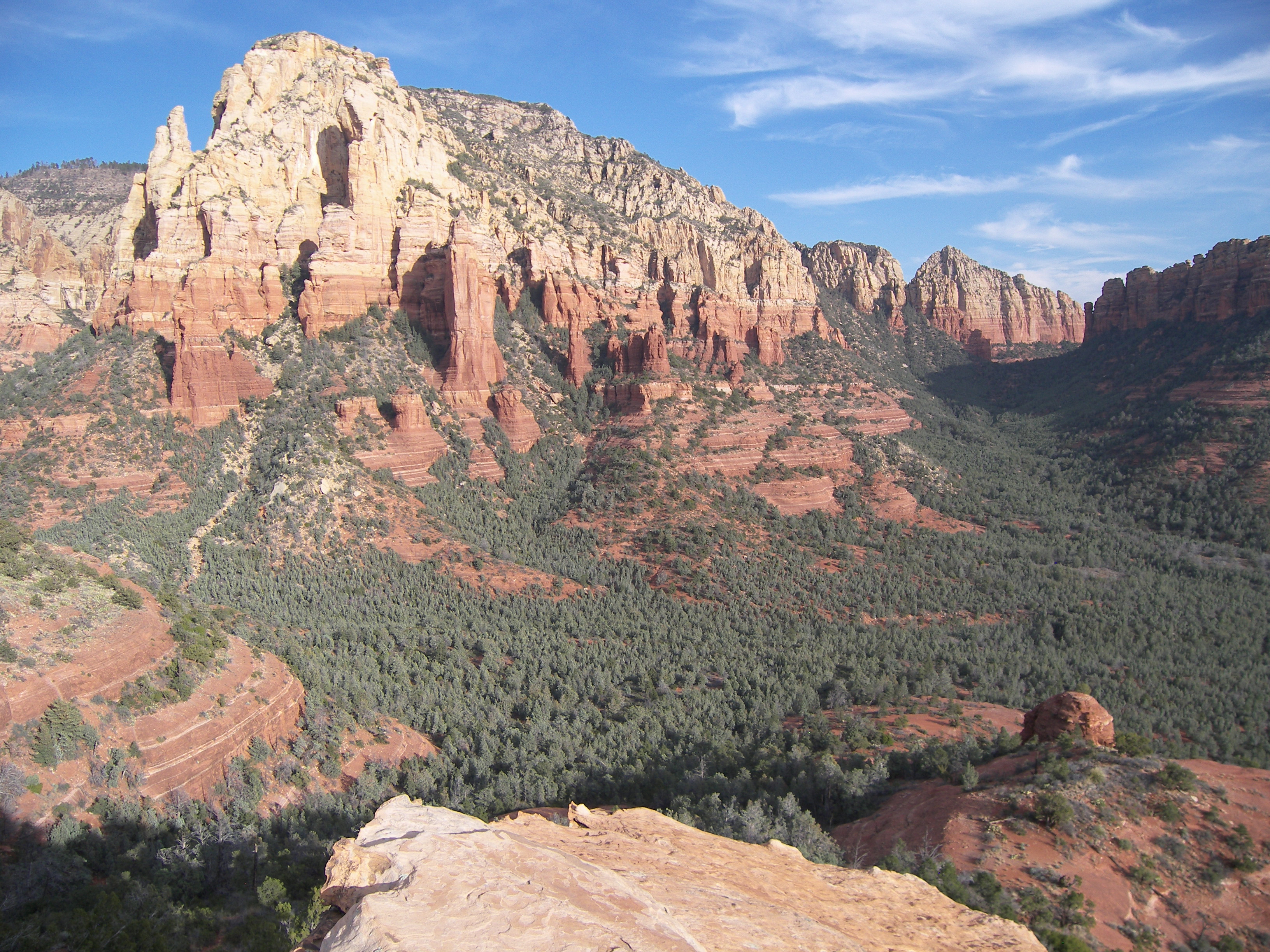
Brins Mesa rim trail.
We did a fantastic loop hike up Soldiers Pass Trail and down Brins Mesa Trail, taking Cibola Pass Trail (after an ill-advised off-trail detour to Cibola Mitten) back to Soldiers Pass Trail for a 6 mile loop hike. On Brins Mesa, we took photos of the recovery of the mesa from the 2006 Brins Fire, part of a long-term project to document the recovery in photos. Coming off the mesa rim, we thought we could hike off-trail up to the saddle between Cibola Mittens and Brins Ridge and locate a trail down to Soldiers Pass Trail from there. While we're pretty sure there's a non-system trail leading up to the Mitten, we went off-trail at the first attractive wash, and ended up bush-whacking and clawing our way up to the saddle... about halfway up to the saddle, covered in scratches, I announced quite vocally that going off-trail was a really dumbass thing to do. We made it to the saddle, and the setting sunlight on the red rocks probably made the bushwhacking worth it. We watched the sun set behind Capitol Butte, then discovered we couldn't find the trail down (if, indeed, there is one) and opted to head for Cibola Pass Trail instead of take our chances. It was solidly dark by the time we hit Soldiers Pass Trail, but a half moon helped light our way and we kept the flashlights in the pack.
Brins Mesa photos, information, and maps
Soldiers Pass photos, information, and maps
Cibola Pass and Cibola Mittens photos, information, and maps


More free photos / by Flickr (Public Domain)